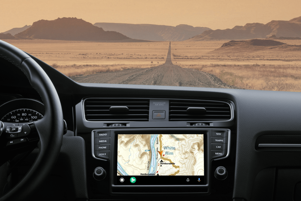
For those that have every electronic navigation device known to man running at the same time on your dashboard on an overland journey, you’ll be happy to know that Gaia GPS just announced that their popular mapping apps now connects with Android Auto, bringing all of your favorite trail maps directly to your vehicle’s navigation screen. You may finally be able to get rid of your old tablet!

From the user interface, you can pull up the Motor Vehicle Use Maps (MVUMs), satellite imagery, National Geographic Trails Illustrated, and more, all
on your in-dash display of your vehicle. You can view waypoints and follow turn-by-turn directions with any saved route on backcountry dirt roads and front-country pavement — worldwide. Best of all? No cell service is needed.
READ MORE: Gear Collections: Overland Navigation Tools
Whether you are overlanding across an entire state or navigating to a remote trailhead to escape the crowds, Gaia GPS delivers seamless, hands-free navigation on unmarked dirt roads, scenic byways, and unmaintained trails. You can access hundreds of specialized maps in Gaia GPS’s map catalog and find hidden routes in places where other in-car navigation maps, like Apple or Google, are blank. And with a Premium Membership, you can download your maps so you can pull them up anywhere you go on Android Auto.
Check out the announcement video below:
Android Auto Limitations Using Gaia GPS
Navigation apps are limited to a set of development guidelines provided by Google due to the danger of distracted driving. Because of Google’s rules for third-party app integration, you will not be able to create routes or switch map sources on your vehicle touchscreen.
You can still get to all of Gaia GPS’s comprehensive backcountry navigation features while connected to Android Auto. Simply use your phone to change map layers and create and save routes while you are in the field. Android Auto will display any map source, drivable routes, and waypoints that you have saved on your phone.
Learn more or download the Gaia GPS app at https://www.gaiagps.com/


