Steve Clatterbuck spent the better part of his career at the National Geospatial-Intelligence Agency, building and running the IT infrastructure behind the nation’s mapping and imagery mission. The work took him to Afghanistan and the Persian Gulf, supporting analysts whose job was to look at satellite imagery and say something true about the ground. He came home with two things: deep familiarity with high-performing systems, and a real love of maps.
In 2017, he started overlanding. The two interests collided almost immediately.
Planning a family trip meant pulling a Motor Vehicle Use Map, cross-referencing it against BLM surface-management layers, then checking satellite imagery to see whether a pullout was actually flat, there, and big enough. For Clatterbuck, that was the fun part — the same reasoning he’d done professionally for years, just applied to a weekend instead of a mission. He’d find spots most people never knew existed, and the family would have them to themselves.
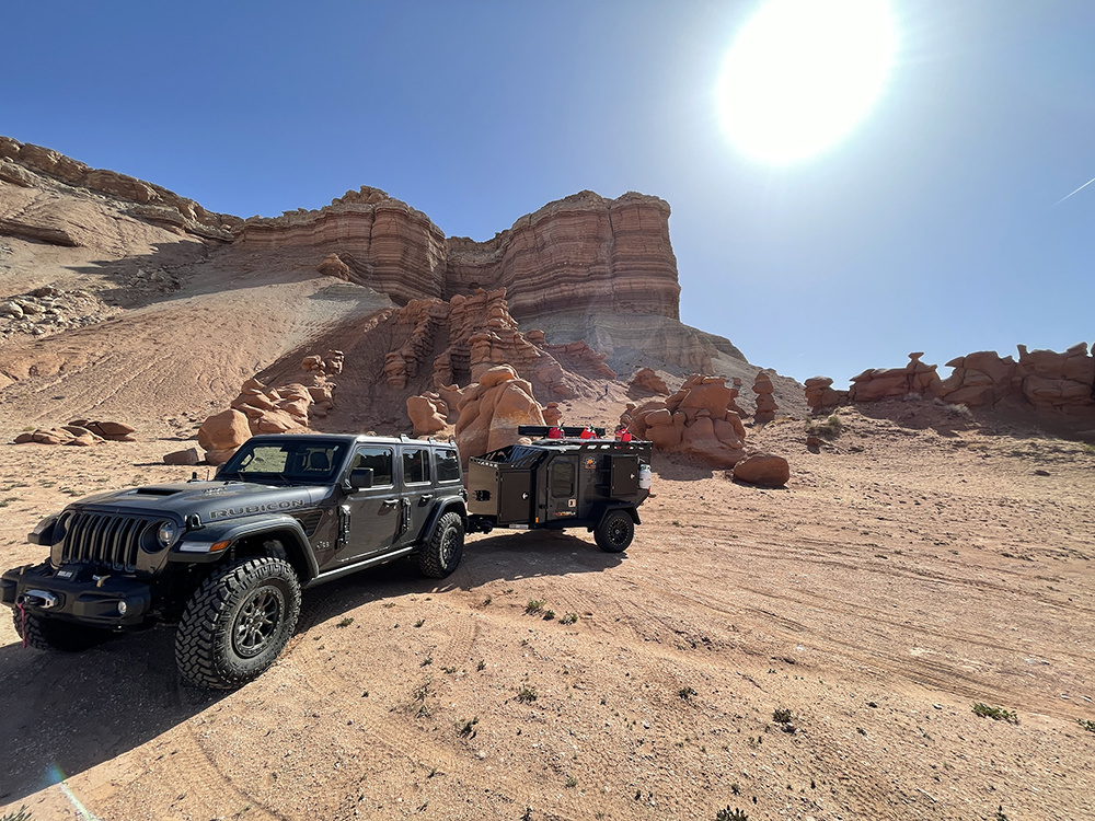
Over time, two things became obvious. The first: the process he enjoyed was, for most people, a wall. Dispersed camping on public land is free and legal across millions of acres, but finding a specific site means knowing which agency manages the ground, whether camping is allowed on that road corridor, how far from centerline you can pull off, and — critically — whether the road will take your rig. A 32-foot travel trailer and a built 4Runner don’t have the same map. Most tools don’t know the difference, so that burden lands on the driver, usually at dusk, with no signal.
The second: plenty of experienced overlanders already know how to do this research. They just don’t have four hours.
READ MORE: Top 6 Reasons You Should Camp at Overland Expo East
WildRoute was built for both of them. It’s a natural-language search agent for dispersed camping on BLM and Forest Service land: a user describes what they want in plain English — a quiet spot near Ouray with room to turn a 25-footer around — and the system reasons across geospatial data, road-surface and clearance attributes, satellite imagery, and community reports to return real, specific coordinates with an honest read on what it takes to get there.
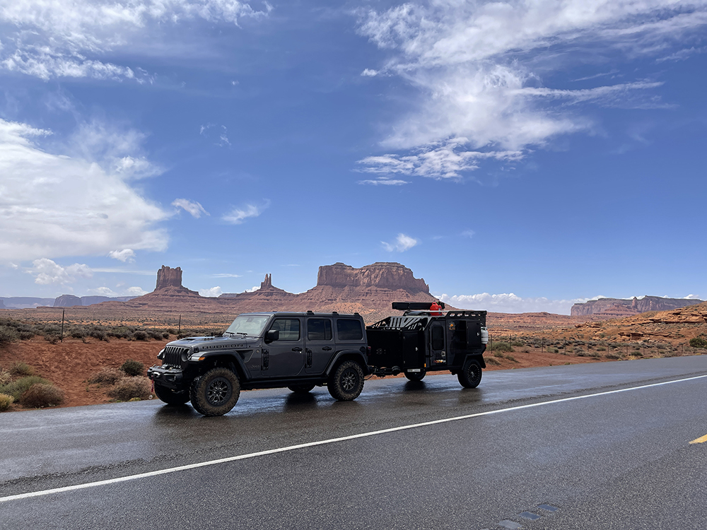
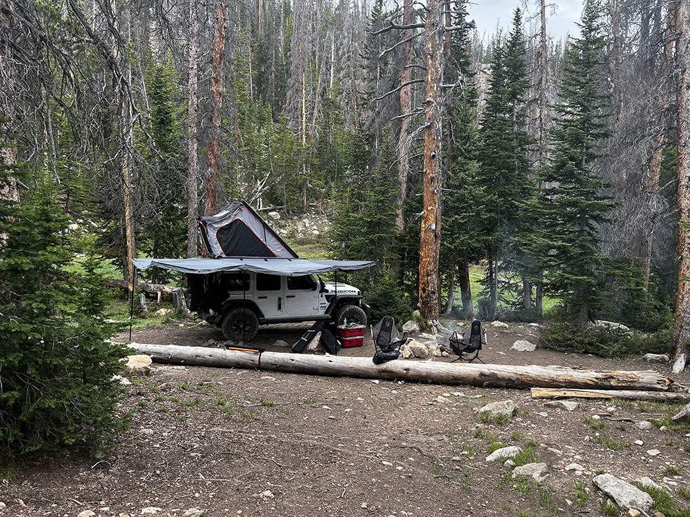
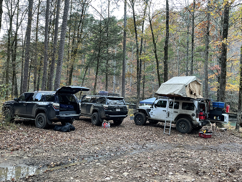
Rig-aware matching is the piece the team is proudest of. A user’s length, clearance, and drivetrain aren’t a filter bolted on after the results come back — they shape how the answer is formed. The system knows the difference between a graded gravel road and one that needs high clearance, between a pullout that fits a van and one that fits a fifth wheel, and says so plainly. That’s the question every overlander is actually asking, and the one most tools hand back to the driver.
The work behind it is unglamorous and mostly invisible. Forest by forest, WildRoute traces published MVUMs to establish where dispersed camping is actually permitted, then verifies candidate sites against imagery before publishing them. Sites that can’t be substantiated don’t ship. The team would rather return five spots a user can trust than five hundred they have to re-verify themselves.
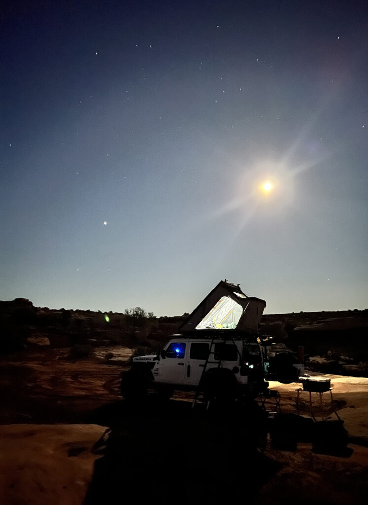
That standard extends to how the platform treats the land. Dispersed camping stays legal only as long as people camp responsibly on it. Leave No Trace guidance and legal-corridor enforcement are structural parts of the product, not a footer link — a recommendation that puts someone in a closed area or on private ground is a defect, and gets treated like one.
WildRoute launched publicly in 2026 and is used today by van-lifers, truck campers, RVers, and overlanders across the West. It remains a small, technical operation run by someone who still spends his own weekends out there checking the work.