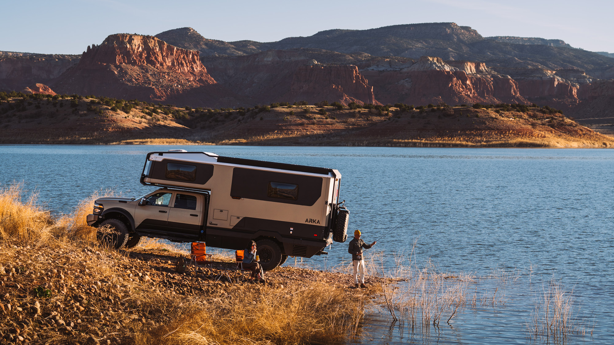
Deschutes National Forest was established in 1908 and offers overlanders and outdoor enthusiasts with almost any experience they want; ice caves, strenuous hikes, mountain biking through pine forests, incredible geology, high desert vistas, and so much more. If you’re planning your trip to Overland Expo Pacific Northwest in July, you won’t want to miss what Deschutes National Forest has in store for you.
This is not intended to be an exhaustive review of everything that the 1.8-million-acre Deschutes National Forest has on tap. It is merely a jumping-off point for your own explorations in the region. Do your homework and find some great trails to call your own!
Read More: Trips & Trails: Cinder Butte Viewpoint
Lava Butte – Newberry National Volcanic Monument
Within the boundaries of Deschutes National Forest and conveniently located just 20-minutes south of Bend, Oregon on U.S. Route 97 is Newberry National Volcanic Monument featuring 54,000 acres of lakes, lava flows, and spectacular geology – including the Lava Butte Cinder Cone. In the spring and summer months, the road to the top of Lava Butte is drivable or rideable on a bicycle. In the winter the road is closed to vehicular traffic, but hiking and snowshoeing are encouraged.
The view from the top of Lava Butte showcases the Oregon Cascades, the greater Newberry Caldera, and the High Desert. A working fire observation tower dots the summit of Lava Butte.
If you’re feeling really fit, you can also hike to the top of 7,985-foot Paulina Peak to take in the sights at the top. The peak is located just south of Paulina Lake Campground (fee) on Forest Service Road NF-500, where you can experience vaster views of the surrounding region.
Read More: Why the Pacific Northwest Is the Perfect Place for Overland Expo’s Newest Show
China Hat Road
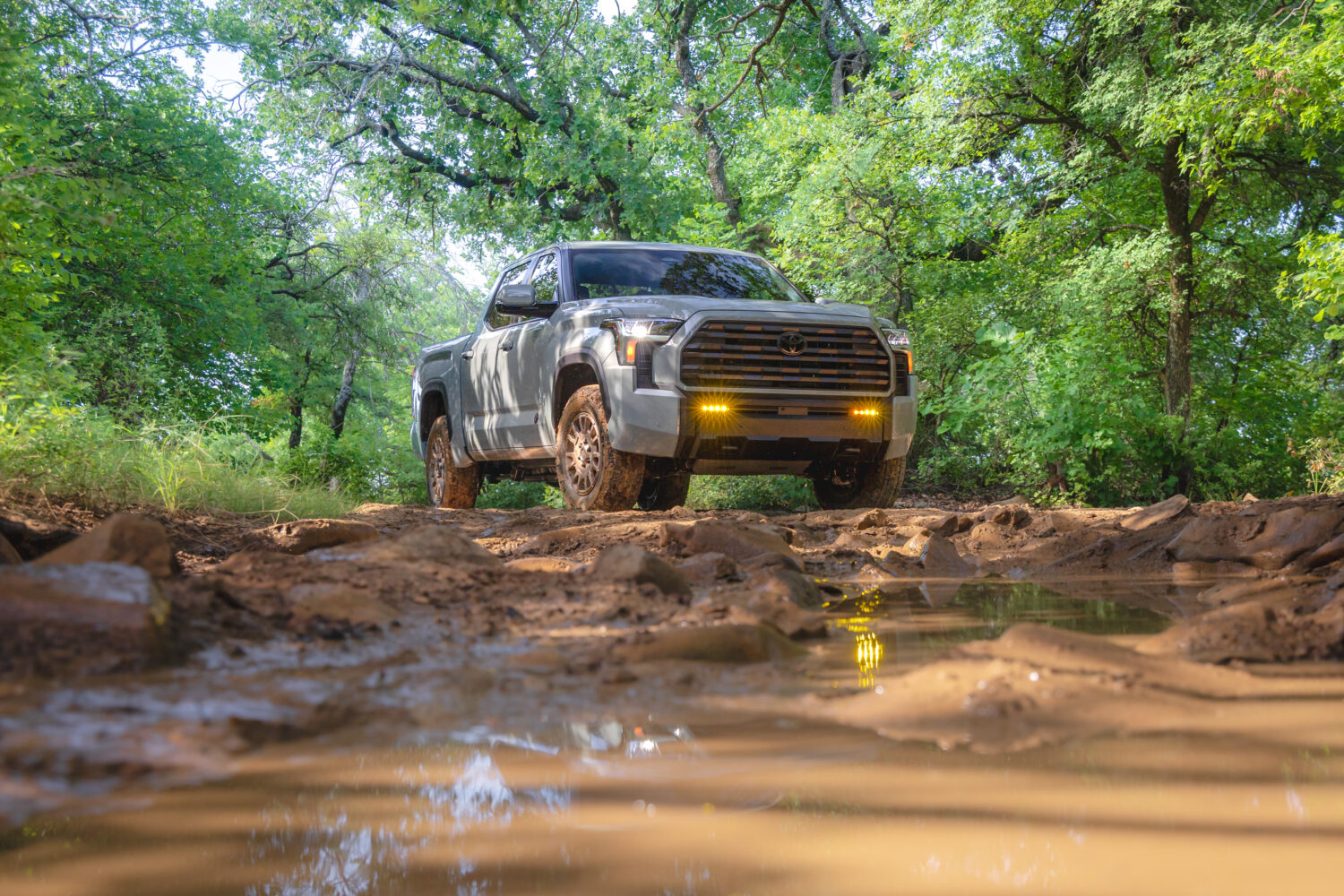
China Hat Road actually begins north of Newberry National Monument, just south of Bend, and roughly heads SSE toward the north end of Paulina Lake. From there, you travel mainly NNE to get to Arnold Ice Caves. The majority of this trail is packed gravel and is typically one to two vehicles wide. The road is not maintained during the winter season, so you can expect ruts, water and mud crossings, and trail debris in the area. The trail is open year-round, and winter trail driving is incredible.
The riding on and around China Hat Road is also phenomenal and includes lots of single track featuring sand, berms, and bumps with some rocky climbs and descents. If you’re traveling on two wheels, there’s a lot for you to experience as well.
Arnold Ice Cave
Located at Lat/Long 43.90517, -121.15915, Arnold Ice Cave is actually part of a lava tube system that includes nearby caves like Boyd, Charcoal, Skeleton, Wind, and Lava River Caves. Lava tubes are formed when lava is exposed to air, cooling the lava and creating a tube that carried a still molten river of lava. When the lava drains away, it leaves a covered tube in place.
The entrance to Arnold Ice Cave is steep and can be slippery in the winter months. Extreme caution is encouraged before entering the cave. Once inside, the cave is easy to moderate to navigate – but be sure to bring a flashlight or headlamp. Those who explore far enough might find what the cave is known for – ice!
In the late-1800s, Arnold Ice Cave was the site of an ice mining operation. The ice was sold to the city of Bend to stop the monopoly of a local saloon keeper who cornered the market on ice. The cave was known to Native Americans living in the region as early as 1370 AD.
What to Know:
- Time: Give yourself at least two days for this out-and-back drive, but consider spending more time exploring the area.
- Distance: 32.1 miles
- Fuel: Fuel is available in Bend.
- Highest elevation: 6,456-feet
- Water: Available in Bend. During the summer months, temperatures can top 100 degrees, so bring more water than you plan to use.
- Permits: Oregon State ATV Permit Required.
- Campfires: Campfires are permitted, but please keep them small and don’t leave them unattended. High winds and dry conditions can fuel a wildfire even at unlikely times of the year.
- Other considerations: Deschutes National Forest is remote, and visitors should be equipped to be self-sufficient. Riders should wear appropriate safety gear, carry a first aid kit, and never ride alone. Most Forest Service and BLM personnel have radios and can give assistance. There is a cellular phone repeater on Grizzly Mountain, and coverage is fair for most of the area.
It shouldn’t have to be said, but please clean up after yourself when visiting Deschutes National Forest. The cave system in the area is also vandalized quite often, and closures ensue when this happens. Please treat the backcountry like you would your home.
Note: This editorial is for informational purposes only. Trail conditions are variable and should be researched and confirmed by you prior to use. Always obey property lines and use common sense to verify boundaries, roads, and trails.