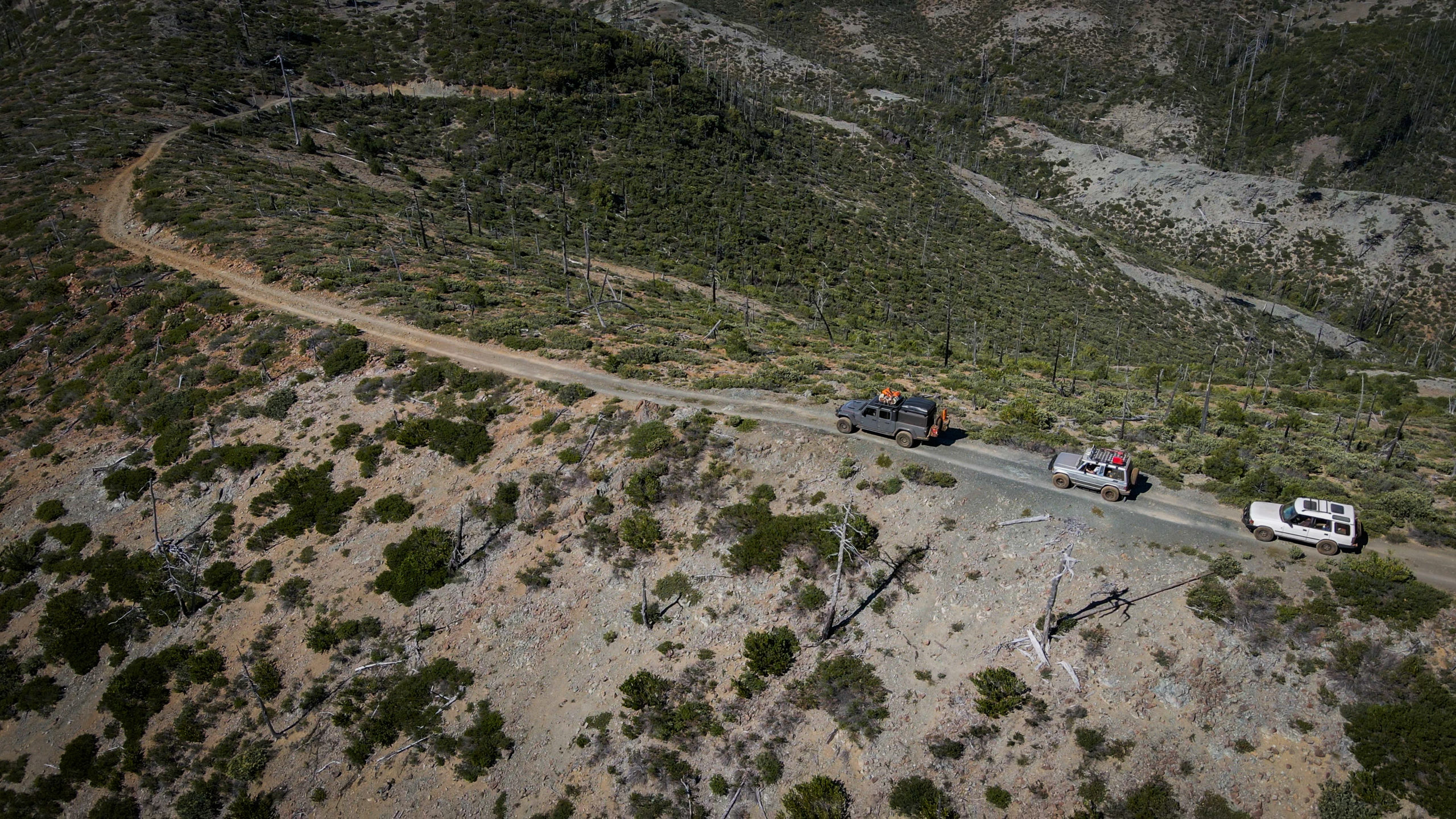
McGrew trail is a legendary track located in southern Oregon that straddles the California border. It’s roughly 26 miles and runs through what, for centuries, was lush forest.
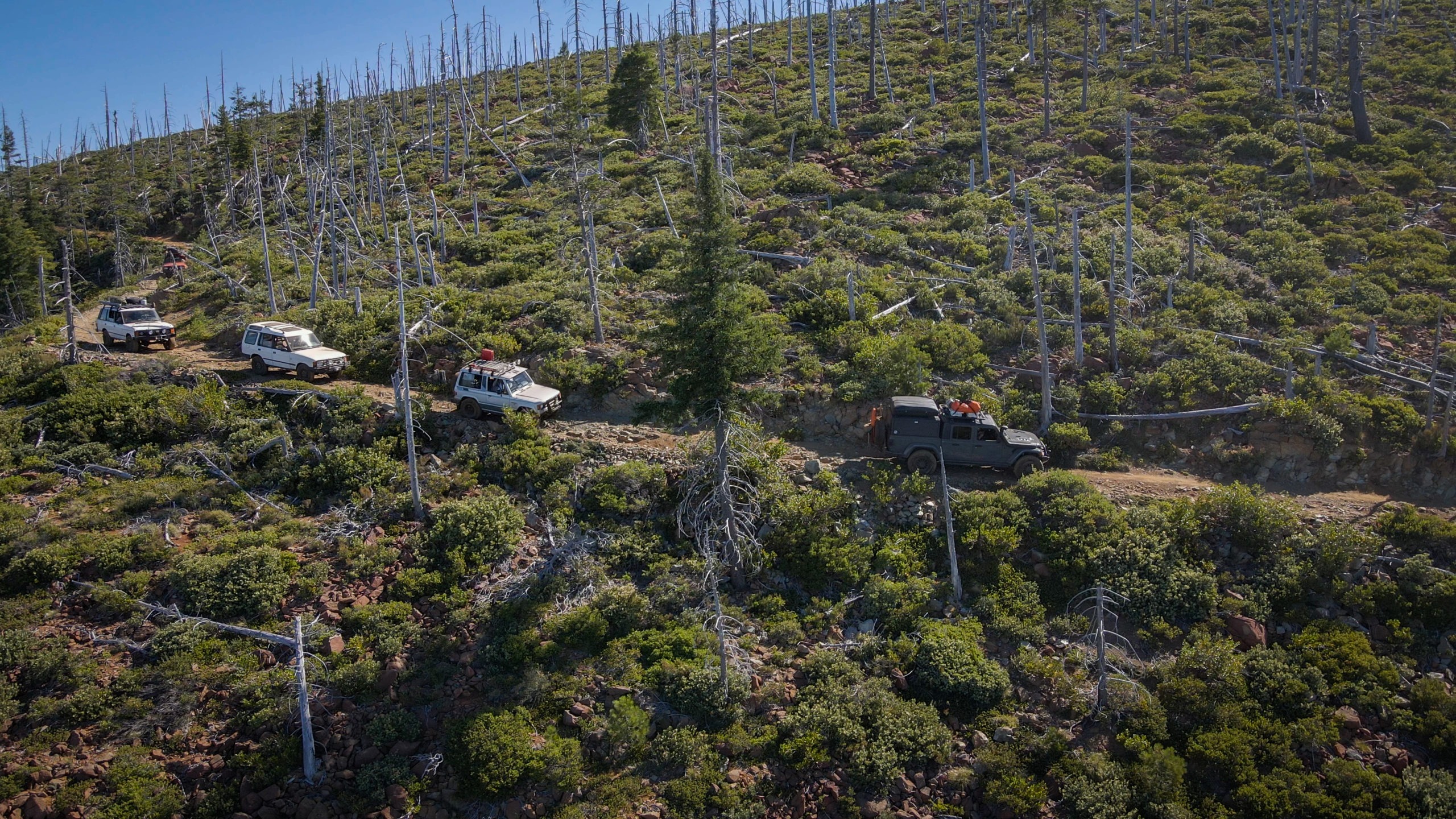
In 2001, however, a devastating forest fire tripped through the region. A few trees still remain, but it is mostly a shadow of its former self.
History
Legend has it that the trail that we now know as McGrew, originally cut by native americans, was discovered by 1852 by two sailors from the shipwrecked schooner “Paragon,” which went down in a small bay on the Pacific coast.
Making their way inland from the wreck, the sailors determined this trail could be used to transport goods from Jacksonville, Oregon and the nearby Illinois Valley to what is today Crescent City, California.
The discovery of this route was welcome news to the gold miners in the region who lacked a safe passage to transport their gold to the sea.
The first iteration of the McGrew trail was said to be a wicked test of endurance. For 20 miles, the hastily blazed trail rode 2,000 feet above the heavily wooded valleys and streams on either side of the mountain. These were later decimated by fire.
By 1870, eighteen years of heavy use left the McGrew Trail in poor repair. Alternative routes along more forgiving terrain had been discovered and developed. The McGrew Trail was effectively abandoned by the end of the 1800s.
A century later, McGrew had been rediscovered and became a popular destination for off-roaders and overlanders.
Today
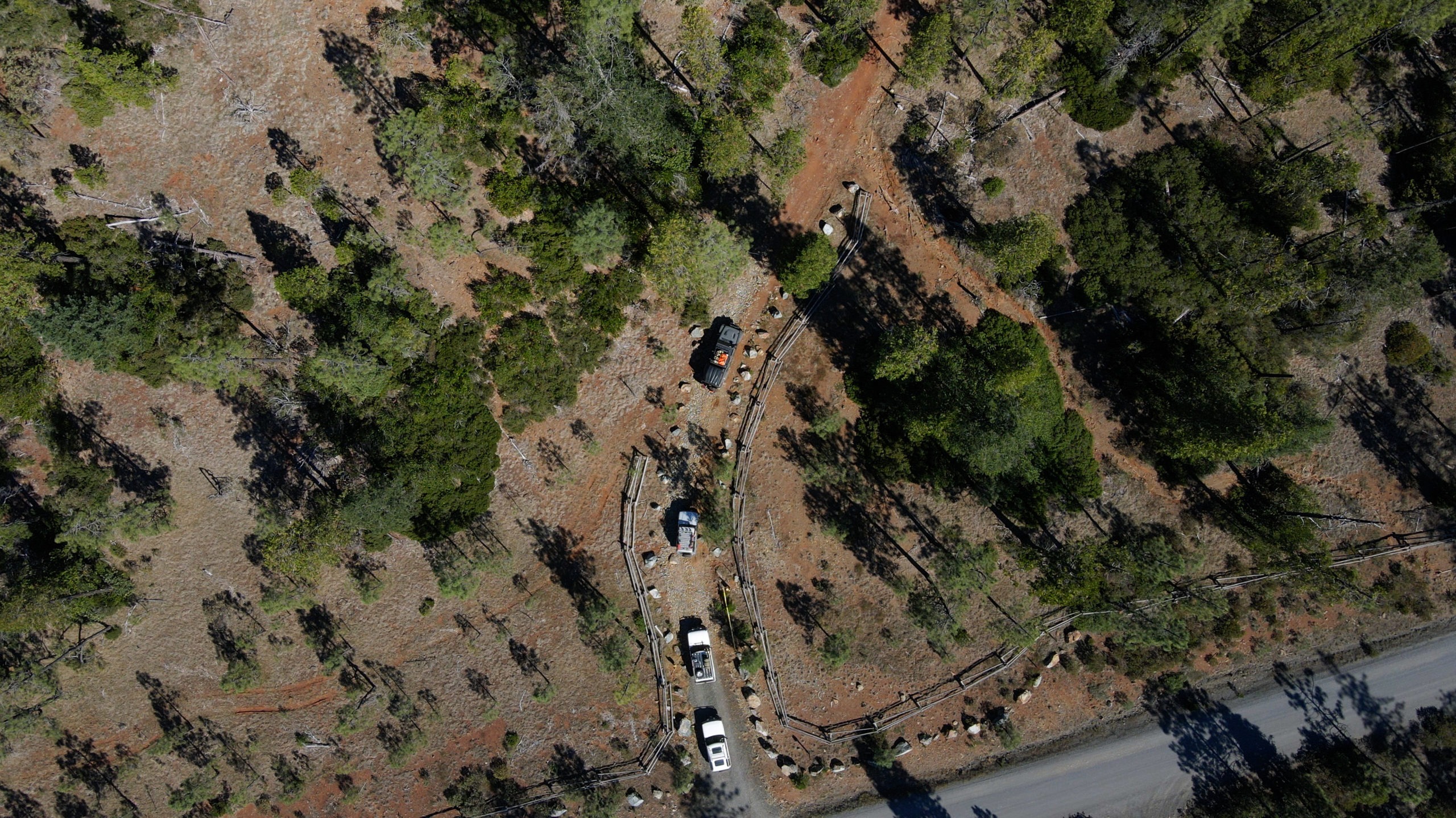
Since 2015, in order to limit the impact off-road travel has on the region, the McGrew Trail has been gated and only open by permit. The Forest Service will only accept applications for a Special Use Permit for a few months — during the year prior to the application period — from September through the end of December.
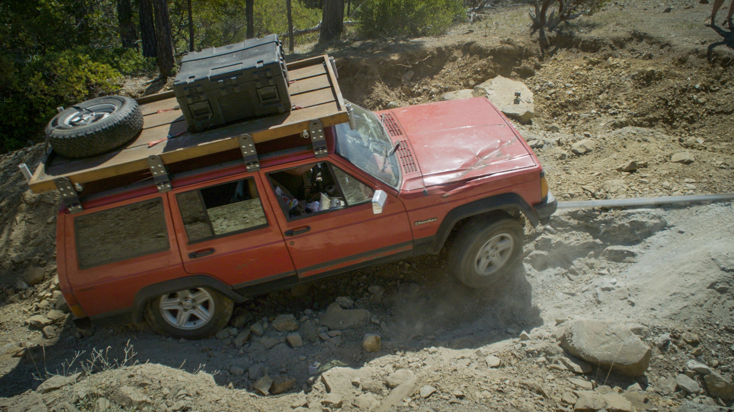
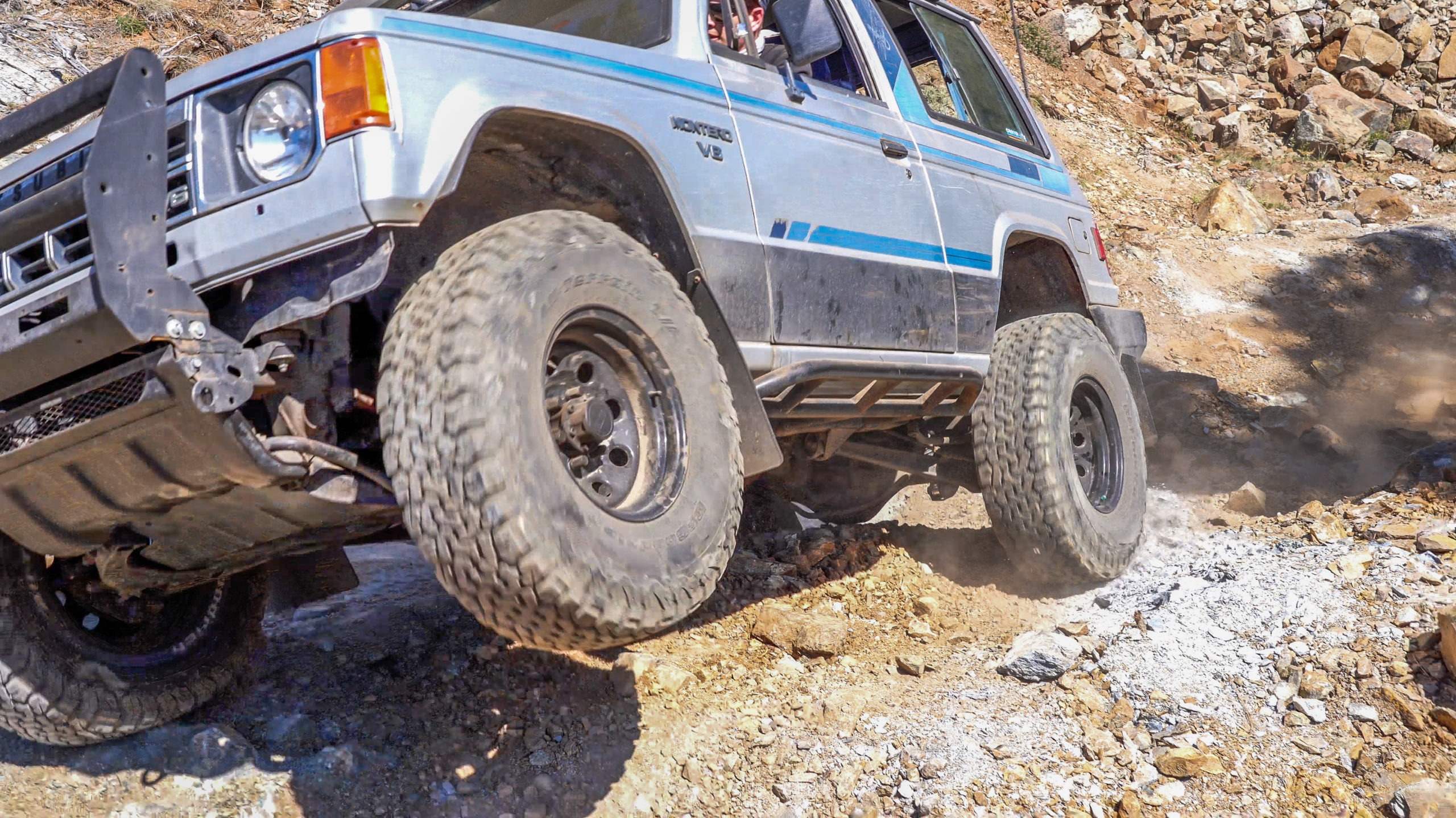
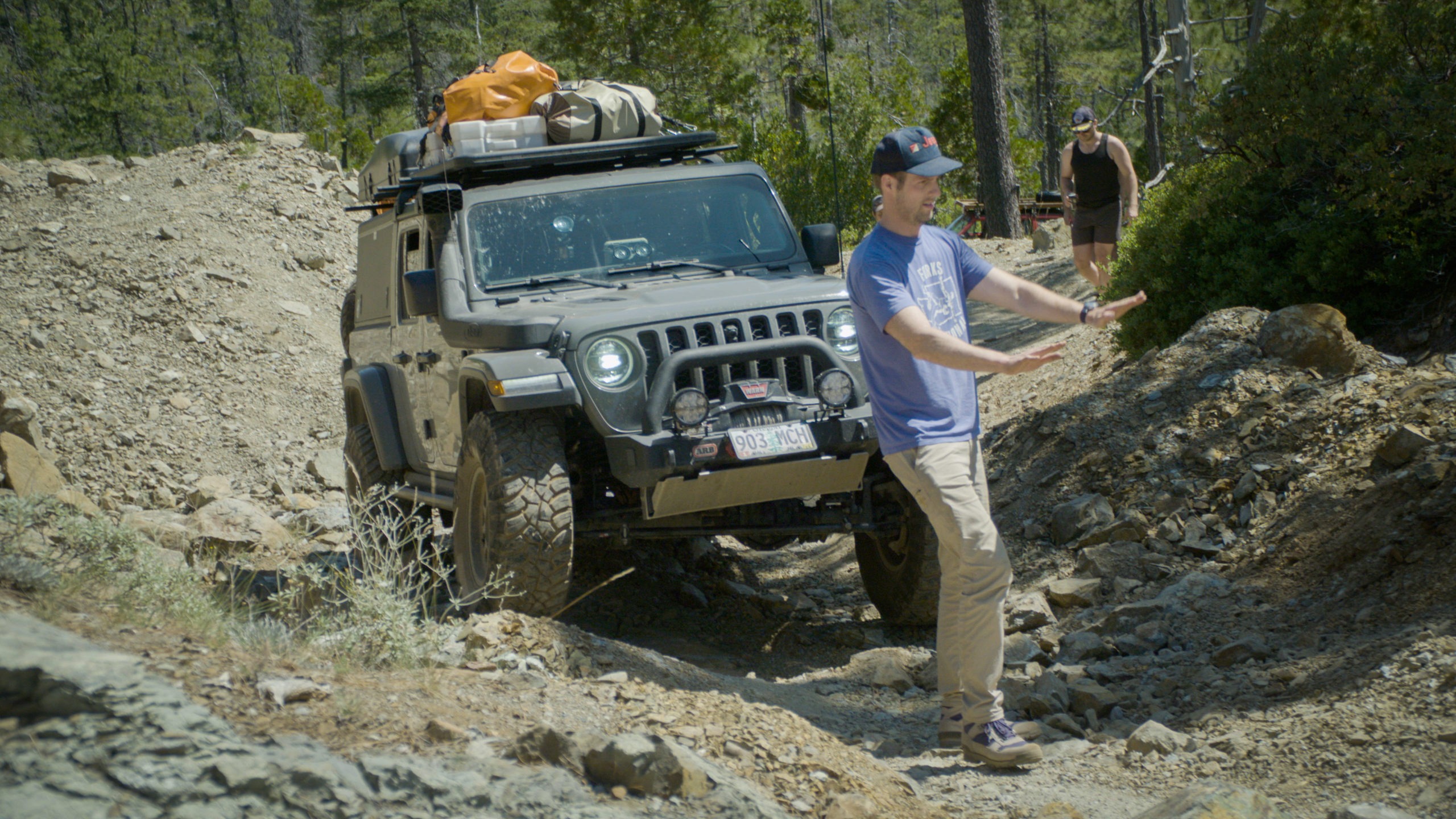
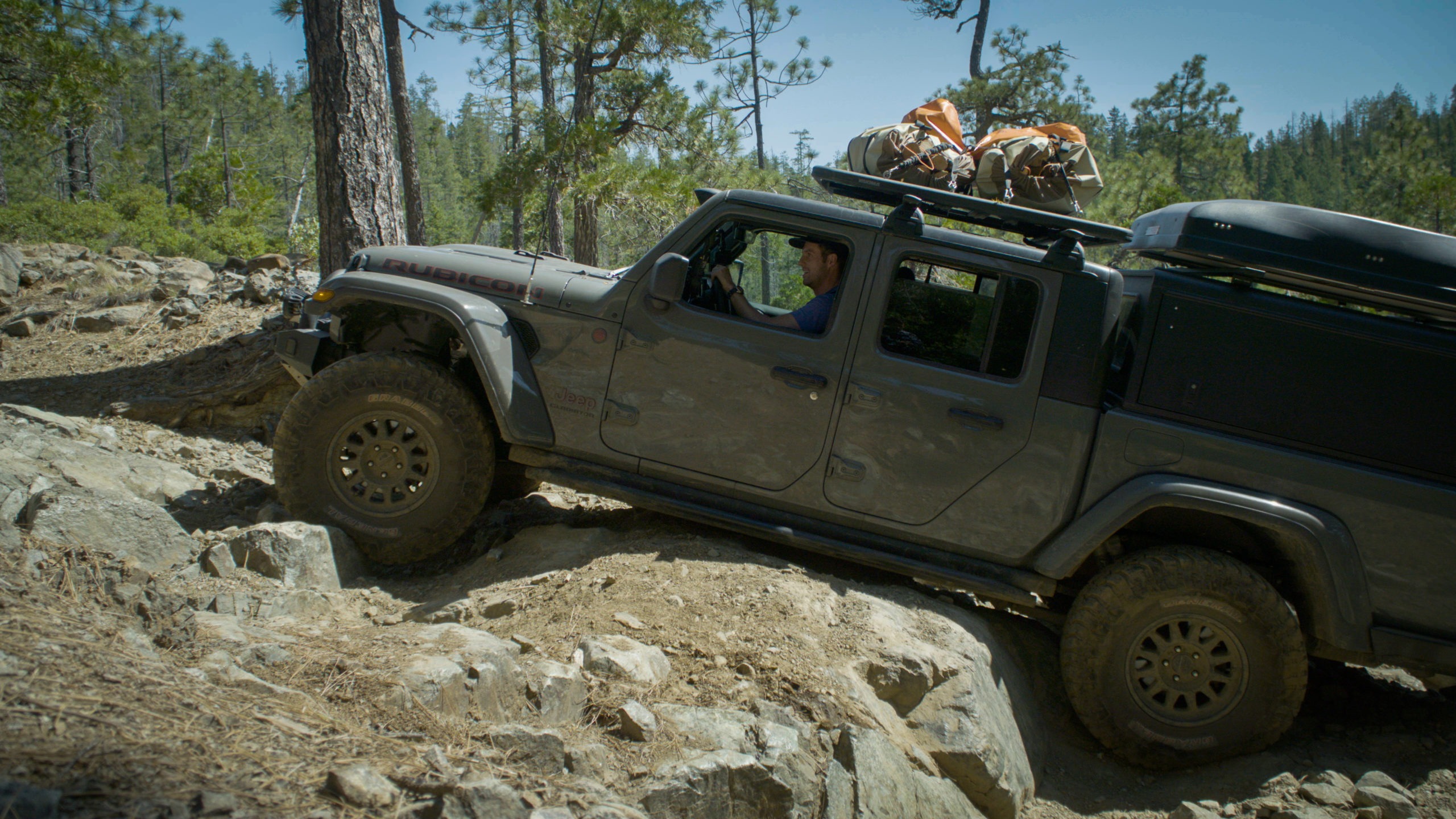
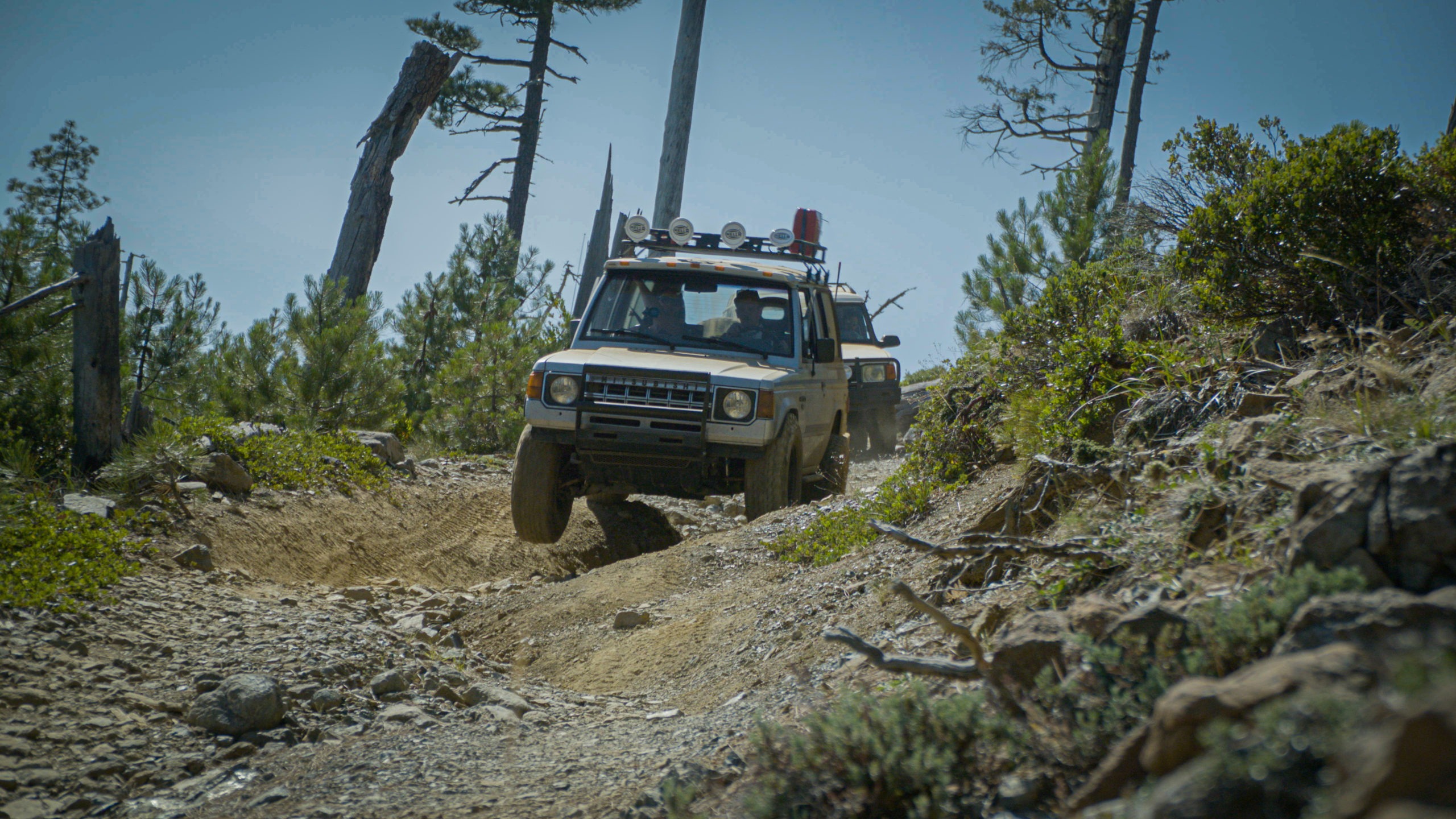
The McGrew Trail is run east to west. It may only be 26 miles, but the first day can be very slow going, especially if your vehicles are lower slung and don’t have locking differentials. Vehicles with open axles may have to utilize momentum to overcome some of the large rocky climbs.
There are bypasses on a couple of the harder obstacles. However, that’s not universally true. So, be prepared to winch through or go with friends and pull each other up and over obstacles.
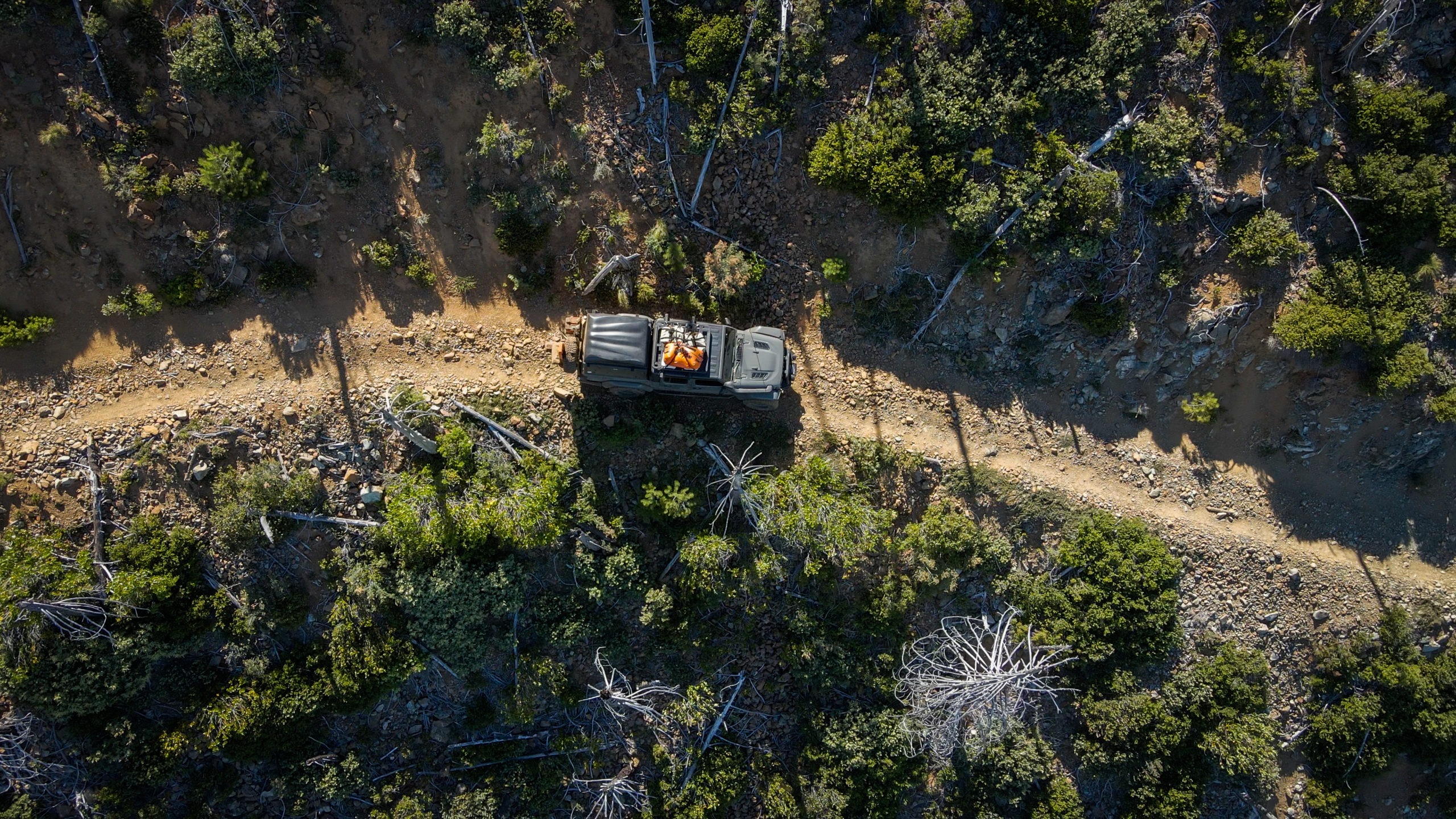
Take your time and enjoy the scenery. If you split the trail into two days, and I recommend you do, camp somewhere at a midpoint. Since you’ll have the trail for yourself, you can camp just about anywhere you wish along the trail.
READ MORE: Gear Review: OZTENT RV-3 Ground Tent
Night two camp should be made at the Sourdough Camp (42.02206, -123.96653), which is effectively the westernmost point of the trail.
Day two will be easier than day one, as there are virtually no obstacles on day two. However, you will traverse through thick brush on your way west.
If you run the trail during the hot summer months, you’ll find respite beyond the end of the McGrew at the Winchuck Campground (42.01888, -124.10652) along the Upper Winchuck River. This is a great spot for camping on day two and an even better place to cool off.
Keep winding your way west and you’ll make it out to Brookings Harbor, Oregon. Along that stretch of coastline, there are places you can drive on the beach. This is a fun way to cap off a hot, dry, and dusty overlanding trip.
What to know:
- Time: 1-3 days
- Start point: 42.03363, -123.75852
- End point: 42.02103, -123.96662
- Distance: 26 miles
- Permit: A permit is required.
- Fuel: Last fuel spot is in O’Brien, Oregon, at the Oregon Discount Gas station: 33077 Redwood Hwy, O’Brien, OR 97534
- Water: You won’t see water until you cross the Upper Winchuck River. So, bring plenty along. Plan for one gallon per person per day.
- Camping: You can disperse camp or camp at designated campsites. Please check Forest Service regulations and practice Leave No Trace principles.
- Other considerations: The Forest Service is serious about the permits for McGrew. Permits must be received before January 15th. Those received after that date will be returned. This means you need to plan well ahead of time — as much as a year in advance of your trip. This will give you time to discover other trails in the area, so you can extend your trip.